Home/Blog
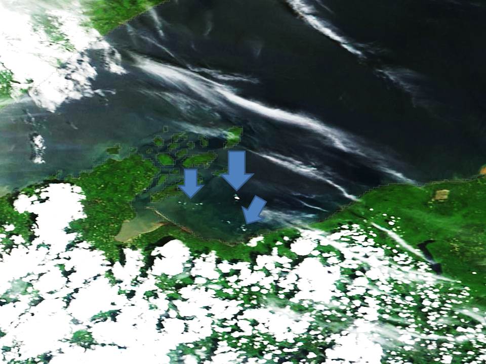
As of June 5, 2014, the only ice on Lake Superior that remains clearly visible in the 250 meter resolution MODIS satellite data are several bergs northeast of Ashland, Wisconsin:
I contacted Mark Vinson at the USGS Great Lakes Biological Station, in Ashland, Wisconsin, to see if anyone has gone out to take photos of the remaining ice rafts on “the big lake they call Gitche Gumee“.
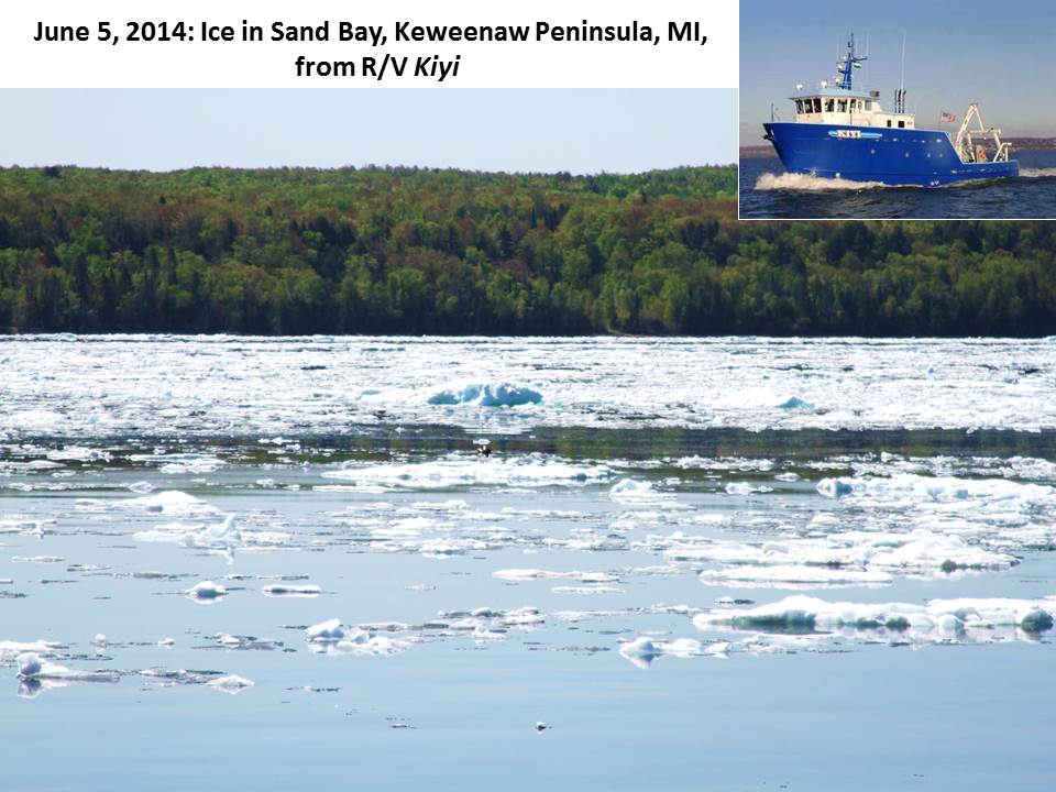
It turns out Mark is out on the lake for their month-long nearshore fish community survey, done every year on R/V Kiyi, now heading east towards Marquette. They are also taking some photos of the remaining ice, much of which is hugging the shore and apparently is not visible in the MODIS satellite imagery.
For example, here’s a photo of icebergs in Sand Bay, in the Michigan’s Keweenaw Peninsula, taken from the Kiyi yesterday:
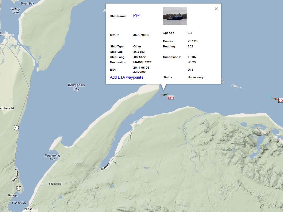
You can monitor the location of R/V Kiyi in real time with this great Google Maps tool Great Lakes & Seaway Shipping Online Vessel Passage Maps. Here’s its current location: