An amazingly clear day today over Lake Superior allowed the MODIS instruments on the NASA Aqua and Terra satellites to capture images of the last remaining major ice rafts on the lake. Both are near the south shore of Superior. It would be interesting to get some boat-side pics of these if anyone up there is willing to take on the challenge (but don’t fall in!).
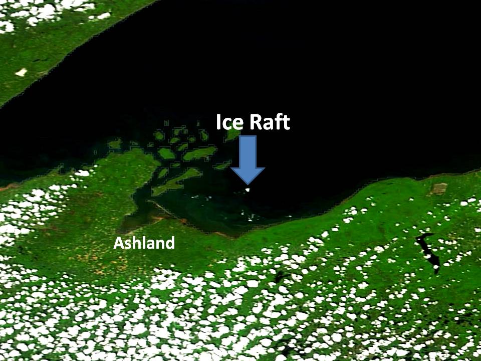
The largest ice raft, as much as 1 mile in diameter, is northeast of Ashland, Wisconsin. It is accompanied by smaller ice areas generally to the south of it (click for large version):
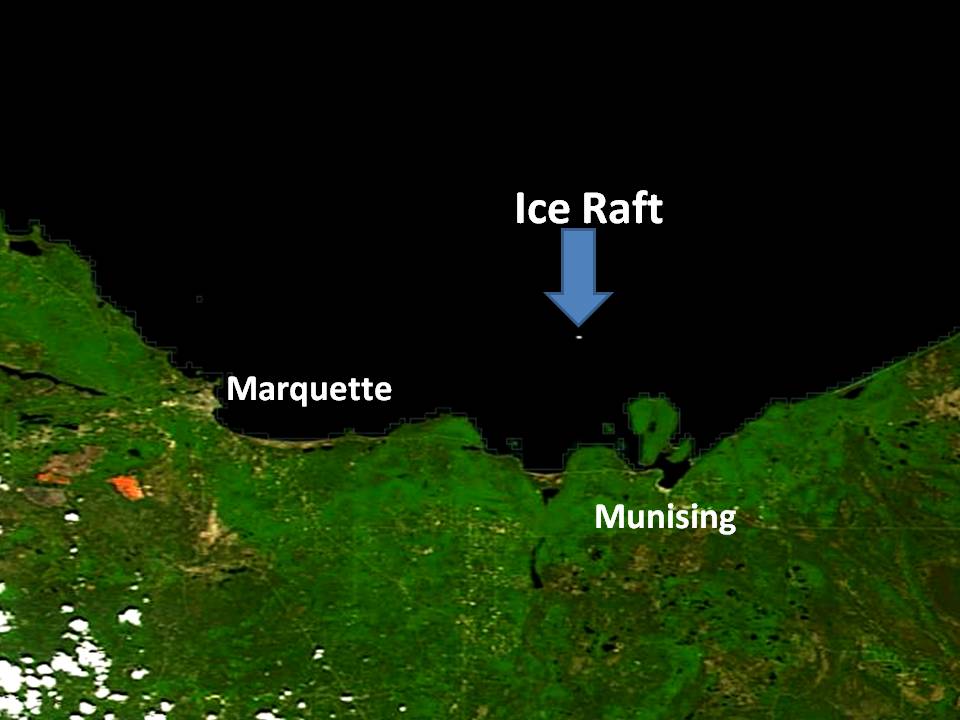
A smaller raft of ice remains northwest of Munising and Grand Island, Michigan:
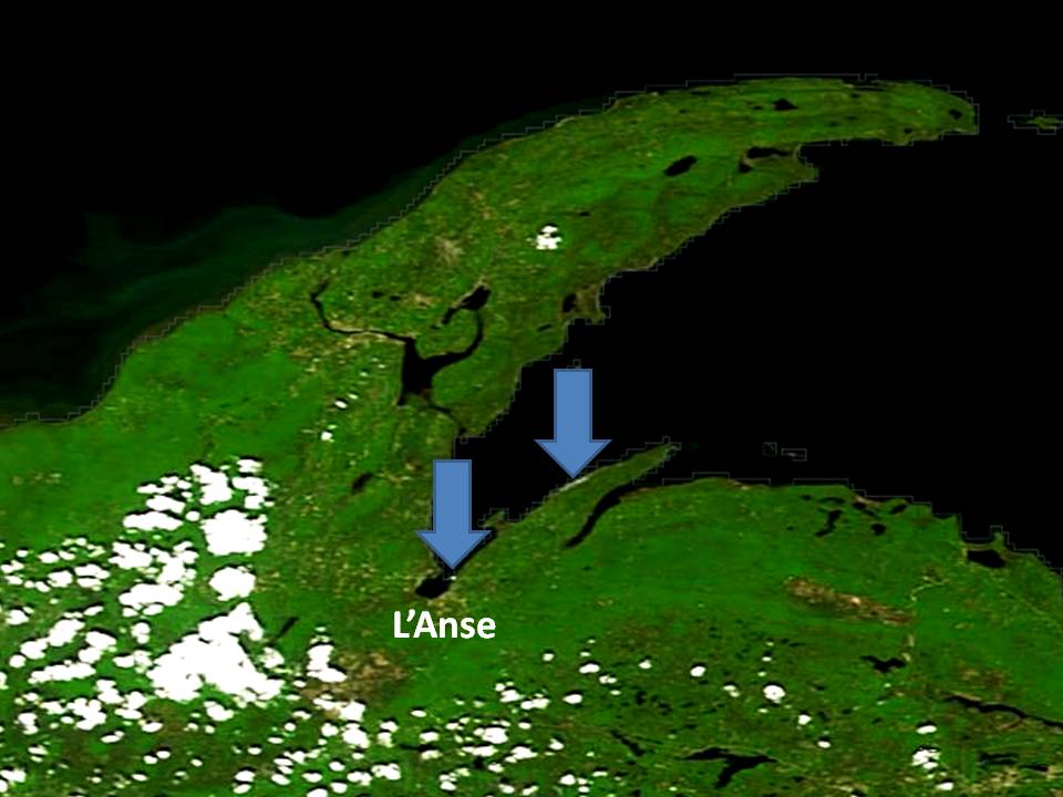
Still smaller, but next to shore (and a little questionable) are two ice areas near L’Anse. I suspect these will be gone tomorrow or the next day:
I doubt that these will last too many more days. Since the water in the vicinity of these ice rafts will be close to freezing, I would caution people to not walk on them. A person will not last long in water that cold. If you walk out on one, and you fall in, your friends in the boat won’t be able to reach you without risking their lives, too.
Comments
7 responses to “Last Ice on Lake Superior Revealed by NASA Satellites”