
 Home/Blog
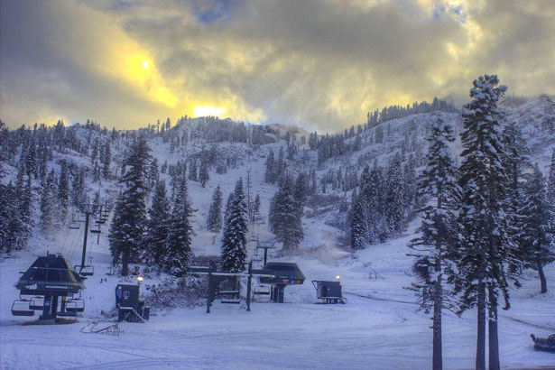
Alpine Meadows, CA basecam, 4 November 2015.
A series of Pacific storms mixed with some cold Canadian air is expected to result in up to 12 feet of new snow during the next week to 10 days over portions of the western U.S.
The latest GFS model forecast shows that about a dozen states will be receiving substantial pre-Thanksgiving snows, likely helped out by the current strong El Nino (graphic courtesy of WeatherBell.com, click for full-size):
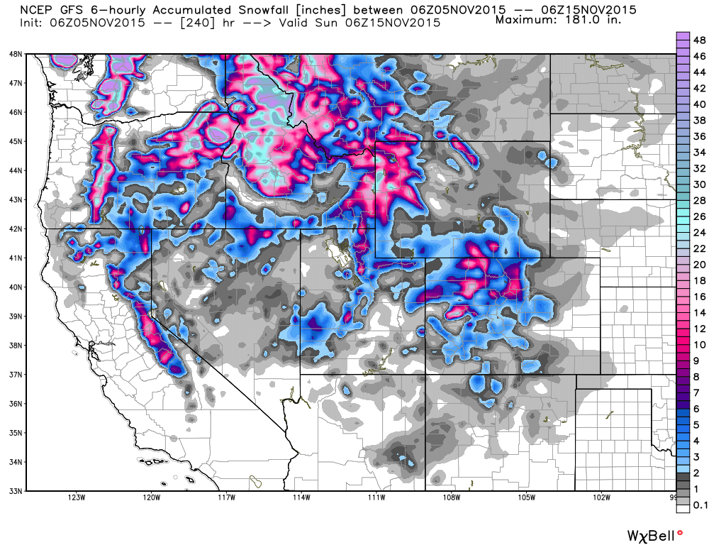
GFS model forecast total snow accumulation by Sunday, Nov. 15, 2015.
A few states have already opened ski resorts early, with about 10 states now reporting snow on the ground.
While El Nino usually results in less snowfall over the West, this isn’t always the case, and the presence of the warm ocean “Blob” off the west coast is likely making this El Nino more unpredictable in its impacts on U.S. weather.


