Archive for December, 2017

First Annual List of Banished Climate Change Terms

Sunday, December 31st, 2017

Lake Superior State University has just released their 43rd annual list of banished words and phrases. These are usually new terms that pop culture has invented which professors at LSSU find silly in some way.

Since I attended that institution for two years, I consider myself to be grandfathered in to start my own banished list of terms that have been infecting public discourse on the subject of global warming (er, I mean climate change).

Here, in no particular order, are the first five that come to mind. I’m sure you can think of many more. There’s always next year.

Climate Denier How does one deny climate? Climate has always changed and always will. Maybe the intent is, “denier of catastrophic human-caused climate change”; if that’s the case, then I’m guilty as charged.

Weather Weirding Weather has always been weird, so stop with this bit of rhetorical redundancy.

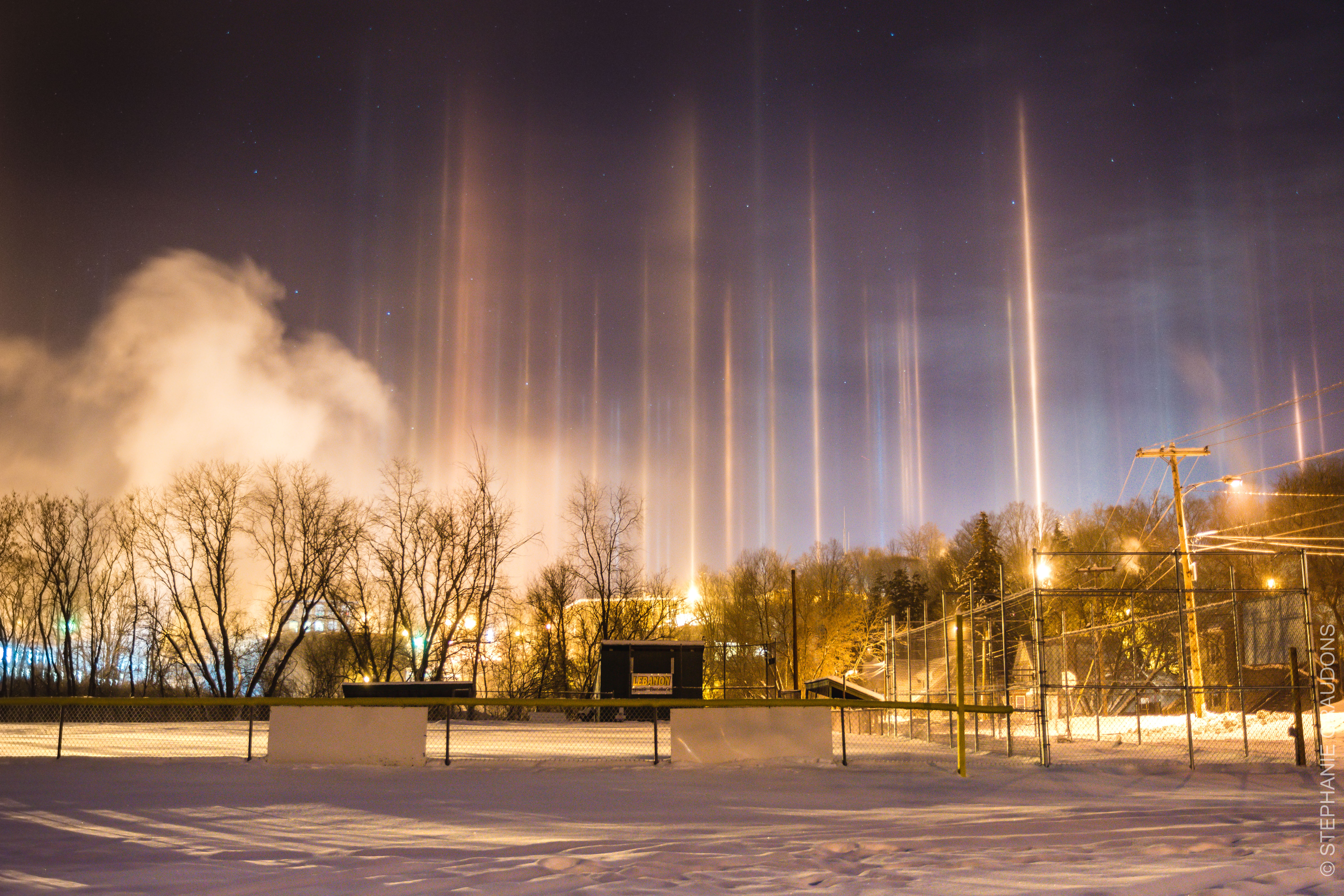
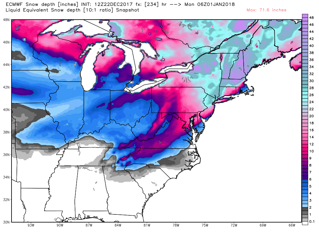
Snowmageddon Back in the day, this was just called a snowstorm or blizzard. We also had to walk 5 miles through it to school, uphill both ways.

Climate Justice No, you are not entitled to whatever weather you want, every day of the year. Yes, we would all like to live in Monterey or Key West, but quit blaming my SUV for your poor life choices.

Naming of Winter Storms Hey, Weather Channel, stop it. Please, just stop it.

So, the next time you decide to drill down into some fake climate news, remember there are people trying to dish out tons of nothingburger terms they want you to include in your vocabulary.

Instead, I suggest you simply covfefe.

Let THAT sink in.

Frigid Air Causing Star Wars “Lightsaber” Effect

Friday, December 29th, 2017

The unusually frigid air over the central and eastern U.S. caused this relatively rare “lightsaber” display of light pillars in Lebanon, New Hampshire, on the night of December 27, 2017.

Light pillar photo by Stephanie Graudons, Lebanon, NH.

The effect is caused when flat-plate ice crystals falling through cold air reflect light sources on the ground like tiny mirrors. The pillars themselves are half way between the light source and the observer.

According to the photographer’s fiance’, and as reported at SpaceWeather.com,

“An unexpected sight at 3 am, these light pillars were amazing enough that I dragged my fiance out of bed and out into the -14 degree night to photograph them! Shivering in a foot of new snow in a nearby baseball field, we watched until they faded away. It was well worth the lack of sleep, and I’d definitely do it again.”

Major East Coast Snowstorm for New Years Eve?

Friday, December 22nd, 2017

We meteorologists have been watching what looks to be a major snowstorm shaping up for the eastern U.S. in the last couple days of 2017.

While it is still too early to tell just where the worst weather will be, it does look like frigid air coming down from Canada will be met by moist Gulf and Atlantic air, and a storm will develop in the central or southeast U.S. and track northeastward somewhere near the East Coast.

People all along the East Coast and New England should be watching forecasts for this system in the coming days, especially those who might be traveling to New York City for Times Square festivities. It is still not obvious whether the low pressure will track just inland or offshore, which has huge consequences for what kind of weather the I-95 corridor will experience.

Historically, the most accurate weather forecast model is the ECMWF. Here is the latest ECMWF snow depth forecast for ball-drop time on New Years Eve, courtesy of Weatherbell.com. It shows two feet of snow depth at midnight New Years Eve in New York City. Most of that snow is forecast to fall in the 24 hours prior to ball-drop time:

ECMWF 10-day snow depth forecast for midnight New Years Eve, December 31, 2017. This forecast WILL change as New Years Eve approaches.

Again, this forecast is 10 days away. But each forecast cycle in recent days has been predicting some sort of major winter event for the East in the last couple days of 2017.

L.A. Wildfires Creating Spectacular Smoke Plume

Thursday, December 7th, 2017

The warm, dry Santa Ana winds which are fanning the flames of the wildfires in the L.A. area have pushed the smoke hundreds of miles offshore. Yesterday’s NASA MODIS imager on the Terra satellite captured the following image of the smoke being sheared into artistic shapes as it travels downwind. Click on the image for the full-resolution version.

NASA MODIS image of LA wildfire smoke on 6 December 2017. The red dots show locations of satellite-detected hotspots where fires are most intense.

The red dots indicate locations where the satellite sensor is detecting hotspots where the fire is most intense.

UAH Global Temperature Update for November 2017:+0.36 deg. C

Friday, December 1st, 2017

The Version 6.0 global average lower tropospheric temperature (LT) anomaly for November, 2017 was +0.36 deg. C, down substantially from the October, 2017 value of +0.63 deg. C:

Global area-averaged lower tropospheric temperature anomalies (departures from 30-year calendar monthly means, 1981-2010). The 13-month centered average is meant to give an indication of the lower frequency variations in the data; the choice of 13 months is somewhat arbitrary… an odd number of months allows centered plotting on months with no time lag between the two plotted time series. The inclusion of two of the same calendar months on the ends of the 13 month averaging period causes no issues with interpretation because the seasonal temperature cycle has been removed as has the distinction between calendar months.

The global, hemispheric, and tropical LT anomalies from the 30-year (1981-2010) average for the last 23 months are:

YEAR MO GLOBE NHEM. SHEM. TROPICS
2016 01 +0.55 +0.72 +0.38 +0.85
2016 02 +0.85 +1.18 +0.53 +1.00
2016 03 +0.76 +0.98 +0.54 +1.10
2016 04 +0.72 +0.85 +0.58 +0.93
2016 05 +0.53 +0.61 +0.44 +0.70
2016 06 +0.33 +0.48 +0.17 +0.37
2016 07 +0.37 +0.44 +0.30 +0.47
2016 08 +0.43 +0.54 +0.32 +0.49
2016 09 +0.45 +0.51 +0.39 +0.37
2016 10 +0.42 +0.43 +0.42 +0.47
2016 11 +0.46 +0.43 +0.49 +0.38
2016 12 +0.26 +0.26 +0.27 +0.24
2017 01 +0.32 +0.31 +0.34 +0.10
2017 02 +0.38 +0.57 +0.19 +0.07
2017 03 +0.22 +0.36 +0.09 +0.05
2017 04 +0.27 +0.28 +0.26 +0.21
2017 05 +0.44 +0.39 +0.49 +0.41
2017 06 +0.21 +0.33 +0.10 +0.39
2017 07 +0.29 +0.30 +0.27 +0.51
2017 08 +0.41 +0.40 +0.41 +0.46
2017 09 +0.54 +0.51 +0.57 +0.54
2017 10 +0.63 +0.67 +0.59 +0.47
2017 11 +0.36 +0.33 +0.38 +0.26

The linear temperature trend of the global average lower tropospheric temperature anomalies from January 1979 through November 2017 remains at +0.13 C/decade.

The UAH LT global anomaly image for November, 2017 should be available in the next few days here.

The new Version 6 files should also be updated in the coming days, and are located here:

Lower Troposphere: http://vortex.nsstc.uah.edu/data/msu/v6.0/tlt/uahncdc_lt_6.0.txt
Mid-Troposphere: http://vortex.nsstc.uah.edu/data/msu/v6.0/tmt/uahncdc_mt_6.0.txt
Tropopause: http://vortex.nsstc.uah.edu/data/msu/v6.0/ttp/uahncdc_tp_6.0.txt
Lower Stratosphere: http://vortex.nsstc.uah.edu/data/msu/v6.0/tls/uahncdc_ls_6.0.txt