
 Home/Blog
Midday today (October 13, 2014) over the Middle East as seen by NASA MODIS instrument on the Terra satellite (click for full size version):
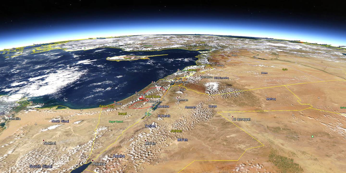
The Middle East as seen by the NASA MODIS instrument on October 13, 2014, remapped into Google Earth.
Note the Anaam Agricultural Project in the lower right, near the Saudi Arabian/Jordan border, made up of many ~1 km diameter circular fields of irrigated crops.


