
 Home/Blog
The various tropical cyclone track models have Tropical Storm Gonzalo tracking very near Bermuda on Friday. Gonzalo should reach hurricane strength this evening.
Here’s the latest MODIS image, just in from early this afternoon (click for full size):
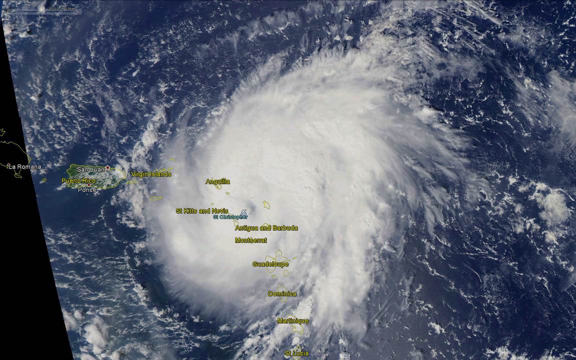
Tropical Storm Gonzalo, early afternoon October 13, 2014, from the Aqua MODIS imager.
Here’s the latest track forecasts, from the South Florida Water Management District (right-click, “view image” for full-size):


