Many years ago as a NASA employee I was asked if I wanted to be considered to fly on the Space Shuttle as a Payload Specialist to support an Earth Observation Mission instrument I was principal investigator on. I turned down being considered, and the mission was cancelled anyway (as were many others) after the Challenger disaster. I went on to work on NASA’s (unmanned) Mission to Planet Earth, while Fred Leslie from our group ended up flying on the Shuttle with his fluid dynamics experiment.
Fred was probably much more suited to flying in space than me, having jumped out of airplanes over 2,500 times (“in a row”, as he liked to say). He brought back home movies of living on the Shuttle, and he remarked on how three-dimensional the Earth looks from space. You just want to stare out the windows, but every minute of your time up there is scheduled with a variety of tasks and you don’t have the luxury.
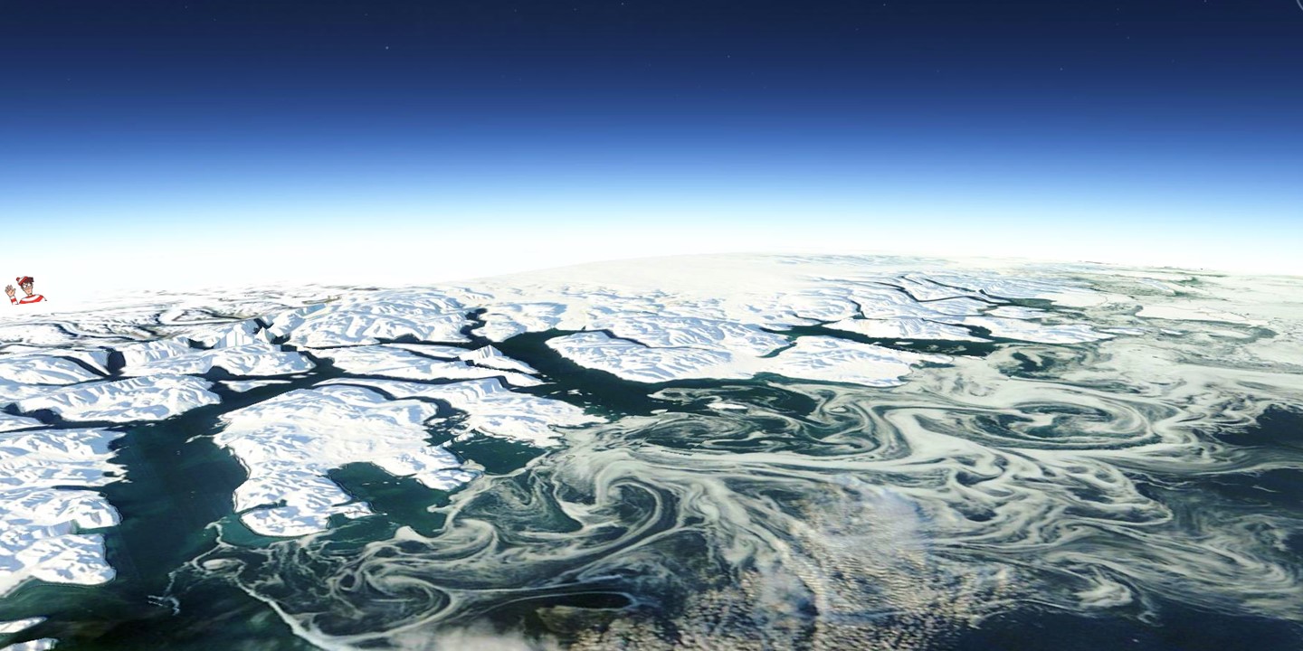
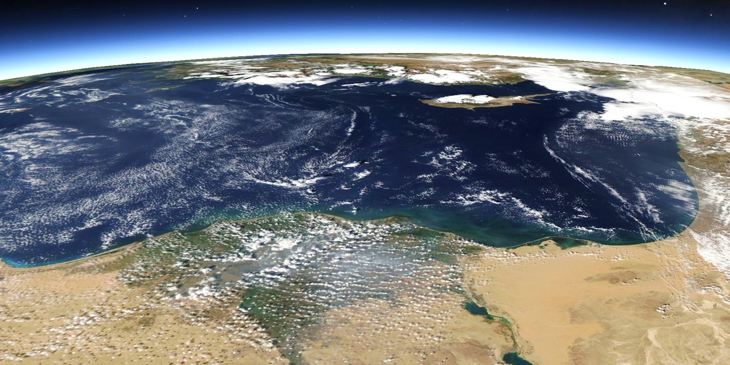
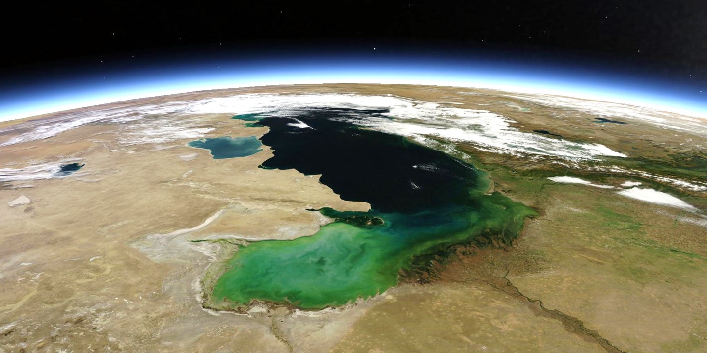
Now, with a variety of Earth observation satellites on-orbit, near-realtime access to that data, and the amazing mapping capabilities of Google Earth, we can create images of the Earth on a daily basis, from viewing perspectives as if we are flying in space. I thought I would provide some of these for your enjoyment, the locations chosen mostly based upon their beauty.
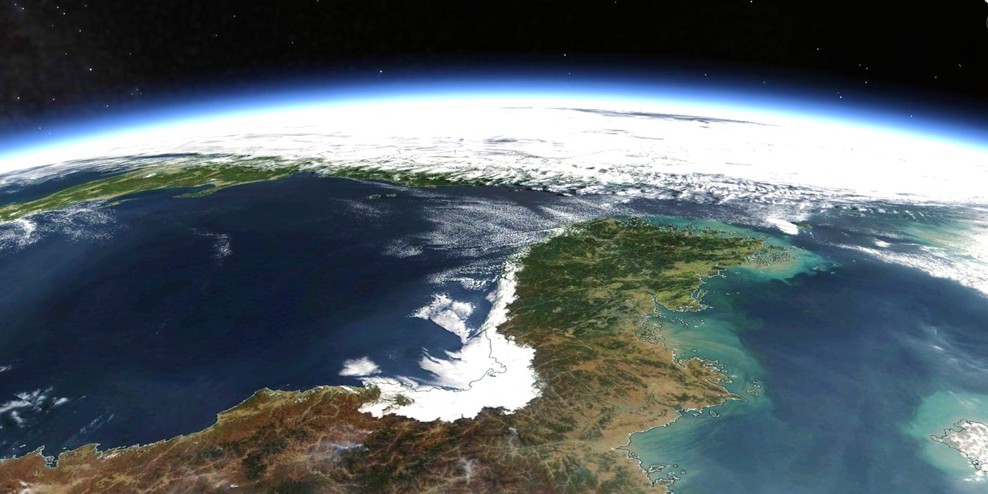
This is South Australia today, looking south toward Antarctica. Since it’s one of the few places on Earth that has “Spencer” on the map (Spencer Gulf), I thought I’d start my “Dr. Roy’s Earth Today” series there (click for full-size version):
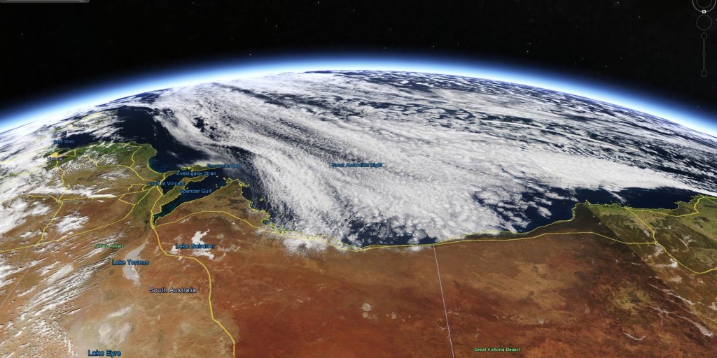
Aqua MODIS image of South Australia on October 10, 2014, remapped into Google Earth.
I spent three weeks in Townsville, Australia in January 1993 supporting NASA’s portion of the TOGA-COARE field experiment. I had a specially designed microwave radiometer we were flying over thunderstorms in the NASA ER-2 high-altitude aircraft, a modified U2. The experiment was a replacement for the cancelled Space Shuttle mission.
For those who have never been there before, Australia is an amazing and exotic place. Rain forests next to deserts. Giant lizards, giant bats, and giant mice (called “roos”) that can walk on their hind legs. I remember never being able to get my bearings because the sun was always in the wrong part of the sky, and walking through a pouring rain at night without a cloud in the star-filled sky.

 Home/Blog